Government officials learn GIS/GPS in Wau
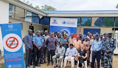
12 November 2013 - More than 18 officials from Western Bahr El-Ghazal ministries received training in geographical Information and global positioning systems (GIS/GPS) today in the capital Wau.
“The geographic information system data collection can be very effective in directing development services in the state,” said UNMISS GIS Officer Akbar Amini.
He called on the state government to establish a GIS centre so that different ministries could share information and direct services to the right locations.
“This training has helped us … to read maps, convert scales and interpret images taken by satellite,” said John Arkangelo, chief geologist from the state Mining Department.
Anthony Julu, Deputy Director of Public Environmental Health at Bahr El-Ghazal University said the GPS/GPS package would help locate disease prevalent pollution and malaria outbreak areas.
“With GPS, we can easily measure farms and . .. (determine) where group farming is,” said Peter Uyaka from the State Ministry of Agriculture, appealing to the state government for GIS/GPS equipment.
 UN
UN United Nations Peacekeeping


